Six Foot Track Map, Informative map covering the 46km long trail from Katoomba to Jenolan Caves. Shows intermediate distances, campsites, facilities and extensive track notes. A NSW Government publication. This map can be laminated and refolded for extra durability in the field.
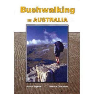
John Chapman and his co-authors spend their lives hiking all over this great land and writing guide books so the rest of us can follow them. Through years of refinement John & Co’s books are well laid-out and colourfully illustrated that detail routes, background, safety, trip planning and further reading.
These maps highlight the walking tracks and features tourist information along with general topographic detail and is essential for walkers. The notes on the reverse side introduce visitors to the vegetation, land forms, animals, history of the area, bushwalking tips, safety essentials and booking requirements. Scale: 1:100,000.
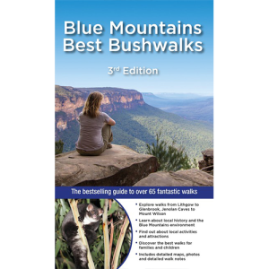
This bestselling bushwalking guide is the perfect companion for the experienced Blue Mountains adventurer, the keen bushwalking beginner and the whole family! Written by Veechi Stuart, a former Sydney Morning Herald columnist and true Blue Mountains local, this guide includes something for everyone. Included:
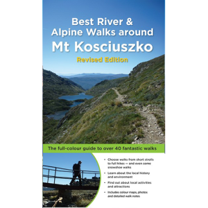
If you’re looking to explore the main range of Australia’s gorgeous Kosciuszko National Park, this is the book for you. An awesome full-colour guide of over 40 of the best walks in the Snowy Mountains, written by Matt McClelland, founder of the widely popular online resource WildWalks. The book includes maps, easy-to-follow instructions and info…
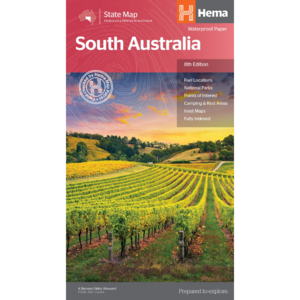
Have you ever thought “I just want a map of South Australia, the whole state, on one page for my wall to plan my trips”! Well, you’ve found it wiht this map from Hema! The reverse side has a more detailed view of Adelaide’s CBD and through roads, along with additional maps of the Flinders…
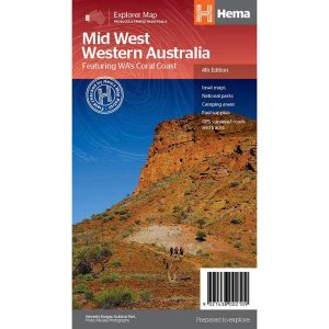
Hema’s regional map of Mid West Western Australia covers from Cape Range National Park south to Mandurah and as far as Kalgoorlie at a scale of 1:1,250,000 that has camping areas, national parks, fuel supplies and facility symbols marked on the map.
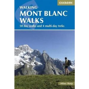
Cicerone guidebook to 50 day walks in the Mont Blanc region near Chamonix and Courmayeur, plus outlines of 4 multi-day treks around both sides of the Mont Blanc massif. The walks range from 3 to 20km and cover a variety of terrains from easy valley walks to more challenging routes over boulders, scree and on…
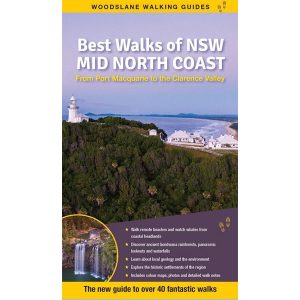
Best Walks of NSW Mid North Coast covers the mid-north of NSW from south of Port Macquarie to Yamba and boasts a huge range of beautiful environments, making the region perfect for exploring on foot. This book introduces the best walks for visitors and residents alike, ranging from leisurely cliff-top and beach strolls to the…
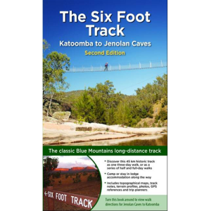
Journey along dramatic escarpments, across gorgeous rivers and through remote bushland on one of Australia’s historic long-distance walks: The Six Foot Track. This full-colour guide outlines all the info you’ll need to tackle this 44km Blue Mountains classic, including maps, estimated times, details on historic points-of-interest, possible accommodation along the hike and even public transport…
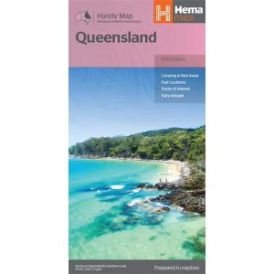
A compact map of Queensland (QLD) at a scale of 1:2,500,000 from Hema, for touring throughout the state which features highways, major roads and minor roads. Marked on the map are national parks, camping areas, caravan parks, rest areas, points of interest and 24-hour fuel accompanied by a distance grid and an index.
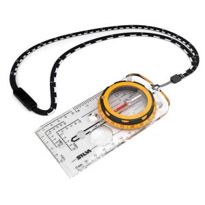
Silva’s Expedition is the front-runner in their series of world-leading compasses.The base plate model has four different map-measuring scales for ultimate versatility, a screw for built-in declination adjustment and a rugged Dryflex housing. This is the perfect mid-range compass for heavy expeditions. All Silva compasses include a pamphlet explaining their 1-2-3 map-reading system which demystifies…