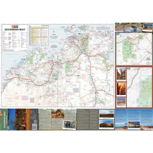
Hema’s updated WA State Map is comprised of the most detailed information, which has been verified by Hema Map Patrol. It is printed on waterproof paper and includes a full index of locations, making it durable and easy to use for both navigation and inspiration. On the reverse side of the maps are through road…
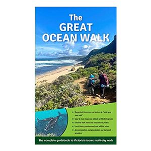
Victoria’s multi-day Great Ocean Walk covers 100 kilometres of spectacular scenery and varied hiking from Apollo Bay, around the famous Cape Otway and through to the world famous Twelve Apostles. The route follows the Shipwreck Coast, beside the wild Southern Ocean, as it takes in remote beaches, breath taking views at every turn, unbridged river…
Silva’s Ranger SL MS is the smallest ‘real’ compass you’ll find this side of Timbuktu.Everthing is downsized but none of the practicality has been lost. The SL keeps measurements in mm and inches and even has a pin-on function so you don’t have to worry about fishing it out every few minutes. All Silva compasses include…
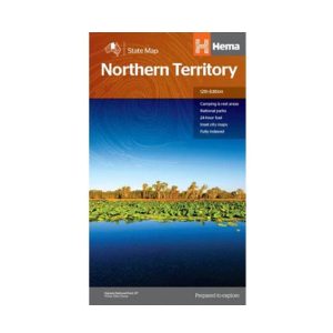
Hema’s map of the Northern Territory that has camping and rest areas, 24hour fuel and points of interest. On the reverse are through road maps of Darwin and Alice Springs, and a map of the greater Darwin region. For trip planning, there is a national park matrix and contact details for information centres.
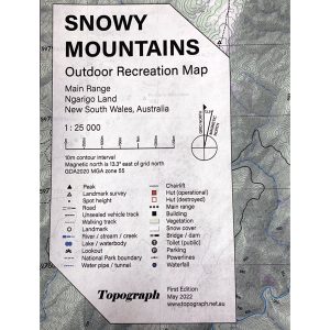
Printed on waterproof tyvek this tough map covers the Snowy Mountains Main Range on one side at 1:25,000 & Guthega to Round Mountain including Mt Jagungal on the other at 1:50,000 with amazing detailed representation with 10m contour intervals. Also with detailed insets of Watsons Crags, Dead Horse Gap, Blue Lk, Lady Northcote Canyon & marginal…
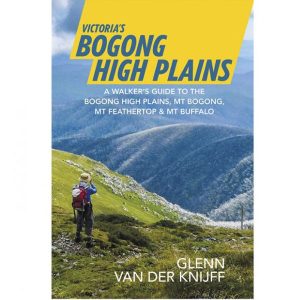
A walker’s guide to the Bogong High Plains, Mt Bogong, Mt Feathertop and Mt Buffalo by Glenn van der Knijff. With its unique user-friendly layout, Victoria’s Bogong High Plains will become an essential reference guide for all walkers. This full-colour, 96 page walking guide is produced in a handy A5 format. Includes
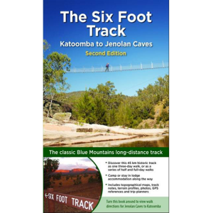
Journey along dramatic escarpments, across gorgeous rivers and through remote bushland on one of Australia’s historic long-distance walks: The Six Foot Track. This full-colour guide outlines all the info you’ll need to tackle this 44km Blue Mountains classic, including maps, estimated times, details on historic points-of-interest, possible accommodation along the hike and even public transport…
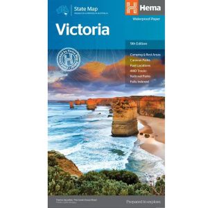
A comprehensive map of Victoria for touring throughout the state that has camping and rest areas, 24-hour fuel and points of interest marked on the mapping. On the reverse are CBD, the surrounding region and through road maps of Melbourne in addition to maps of the Great Ocean Road and East Gippsland. Also included is…
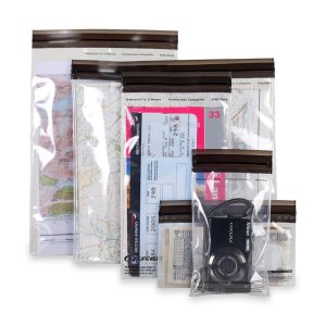
These light but strong polymer waterproof bags from Lifeventure will protect anything you care to put in them from water damage, scratching, religious conversion etc. The press-seal LocTop is rated to IPX8, that submersible up to 10m for 30 minutes. The large pack is designed for maps but comes with three different sized bags that…
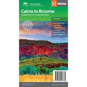
The Cairns to Broome map has all the the info you need for planning this epic road trip. From national parks maps, to fuel locations, caravan parks, info centres and adventure ideas it has it all. It comes with comprehensive info on amazing attractions along the way, this is THE map to plan a Cairns to Broome…
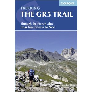
Cicerone’s essential guidebook for walking the GR5 trail, 660km from Lac Leman (Lake Geneva) to Nice or Menton, through the French Alps. Includes all the main variant routes as it passes Mont Blanc, then through the Vanoise, the Queyras and the Mercantour National Parks. Includes accommodation, profiles and maps. Suitable for fairly experienced hikers.
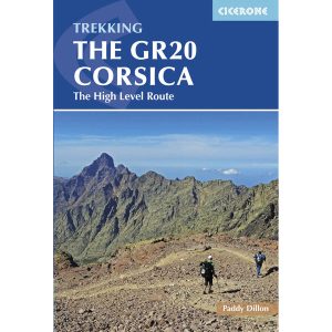
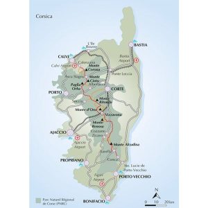
This is one of a series of excellent guide books from the Cicerone. Their guides are an inexpensive option for hikers heading all over the world looking to explore the world’s best walks and treks, mountains and cycle routes. This book details walking the GR20 through Corsica’s high mountains. A challenging trail between Calenzana and Conca that…