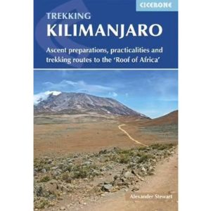
Cicerone’s Guidebook describing all the trekking routes on Kilimanjaro (5895m), one of the Seven Summits. With 6 ascent routes, 3 summit ascents, the Circuit Path and descent paths, the guide also provides comprehensive information on preparation and access, a route on Mt Meru, as well as information on accommodation and other facilities. This practical guidebook…
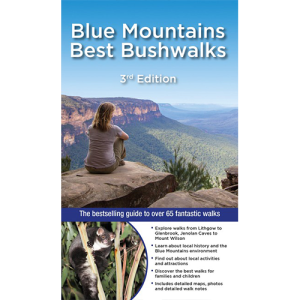
This bestselling bushwalking guide is the perfect companion for the experienced Blue Mountains adventurer, the keen bushwalking beginner and the whole family! Written by Veechi Stuart, a former Sydney Morning Herald columnist and true Blue Mountains local, this guide includes something for everyone. Included:
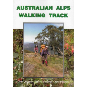
John Chapman and his co-authors spend their lives hiking all over this great land and writing guide books so the rest of us can follow them. Through years of refinement John & Co’s books are well laid-out and colourfully illustrated that detail routes, background, safety, trip planning and further reading.
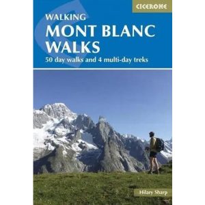
Cicerone guidebook to 50 day walks in the Mont Blanc region near Chamonix and Courmayeur, plus outlines of 4 multi-day treks around both sides of the Mont Blanc massif. The walks range from 3 to 20km and cover a variety of terrains from easy valley walks to more challenging routes over boulders, scree and on…
The design of the Tasmap 1:50 000 Map Series provides a clear and accurate portrayal of topographic information, with symbols and map content giving enhanced depiction of buildings, hill shading and a simplified classification of vegetation.
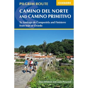
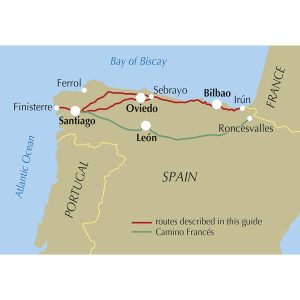
Cicerone guide details the Camino del Norte and Camino Primitivo pilgrim routes. The Camino del Norte covers 820 kms and takes you from Irún via Bilbao and Santander takes around 5 weeks to complete. The 355km Camino Primitivo takes about 2 weeks. The book also includes the Camino Finisterre from Santiago to the coast.
John Chapman and his co-authors spend their lives hiking all over this great land and writing guide books so the rest of us can follow them. Through years of refinement John & Co’s books are well laid-out and colourfully illustrated that detail routes, background, safety, trip planning and further reading.
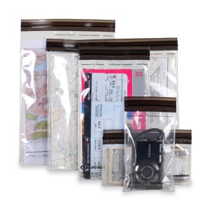
These light but strong polymer waterproof bags from Lifeventure will protect anything you care to put in them from water damage, scratching, religious conversion etc. The press-seal LocTop is rated to IPX8, that submersible up to 10m for 30 minutes. The large pack is designed for maps but comes with three different sized bags that…
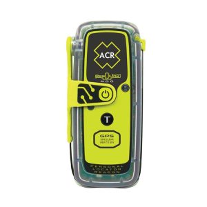
The ACR ResQlink 400 Personal Locator Beacon is a small, lightweight and buoyant personal locator beacon. Engineered with military durability and equipped with ResQlink’s satellite precision this unit will not let you down if or when you need it most. You can trust this unit in any environment be it land, sea or sky to…
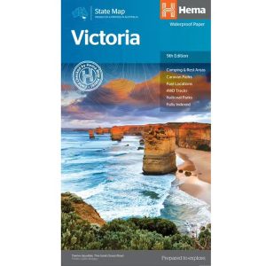
A comprehensive map of Victoria for touring throughout the state that has camping and rest areas, 24-hour fuel and points of interest marked on the mapping. On the reverse are CBD, the surrounding region and through road maps of Melbourne in addition to maps of the Great Ocean Road and East Gippsland. Also included is…
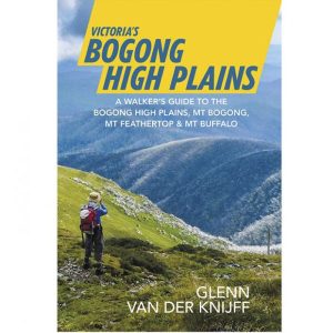
A walker’s guide to the Bogong High Plains, Mt Bogong, Mt Feathertop and Mt Buffalo by Glenn van der Knijff. With its unique user-friendly layout, Victoria’s Bogong High Plains will become an essential reference guide for all walkers. This full-colour, 96 page walking guide is produced in a handy A5 format. Includes
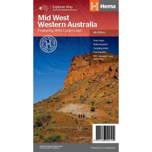
Hema’s regional map of Mid West Western Australia covers from Cape Range National Park south to Mandurah and as far as Kalgoorlie at a scale of 1:1,250,000 that has camping areas, national parks, fuel supplies and facility symbols marked on the map.



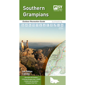 Southern Grampians - 1-50000