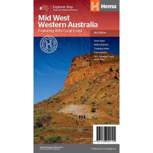
Hema’s regional map of Mid West Western Australia covers from Cape Range National Park south to Mandurah and as far as Kalgoorlie at a scale of 1:1,250,000 that has camping areas, national parks, fuel supplies and facility symbols marked on the map.
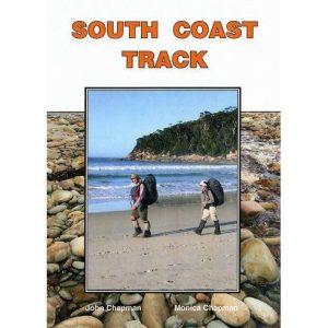
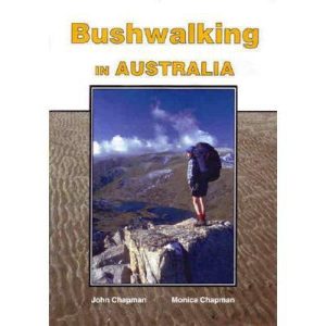
John Chapman and his co-authors spend their lives hiking all over this great land and writing guide books so the rest of us can follow them. Through years of refinement John & Co’s books are well laid-out and colourfully illustrated that detail routes, background, safety, trip planning and further reading.
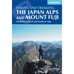
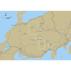
This is one of a series of excellent guide books from the Cicerone. Their guides are an inexpensive option for hikers heading all over the world looking to explore the world’s best walks and treks, mountains and cycle routes. This book covers the Japan Alps, featuring 27 walks and treks in the North, Central and South Alps, and…
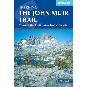
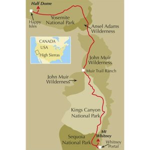
This is one of a series of excellent guide books from the Cicerone. Their guides are an inexpensive option for hikers heading all over the world looking to explore the world’s best walks and treks, mountains and cycle routes. This is a guide to walking the John Muir Trail through California’s High Sierra from Yosemite (El Capitan and…
The New Zealand North Island Map (NZ) is a 1:1,000,000 scale travel reference map of the north island of New Zealand. Marked on the mapping are points of interest, tourist routes, walking tracks and national parks for touring the island. On the reverse are city maps of Auckland, Wellington, Whangarei, Napier, Kerikeri, Hamilton, Gisborne, New Plymouth, Palmerston…
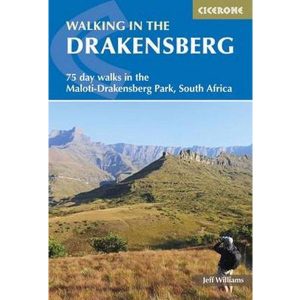
This Cicerone guidebook presents 75 day walks of 1 to 26km in South Africa’s Maloti-Drakensberg Park, a UNESCO World Heritage Site. Located in KwaZulu Natal and easily accessible from Johannesburg, Harrismith, Pietermaritzburg and Durban, the region boasts dramatic cliffs, gorges and waterfalls, abundant wildlife and 2000 year old rock paintings.
John Chapman and his co-authors spend their lives hiking all over this great land and writing guide books so the rest of us can follow them. Through years of refinement John & Co’s books are well laid-out and colourfully illustrated that detail routes, background, safety, trip planning and further reading.
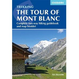
Cicerone guidebook for walking the Tour of Mont Blanc, one of the world’s classic treks. The 170km TMB route typically takes 11 days and is described in both anti-clockwise and clockwise directions, with optional variants. Includes information about refuges and facilities and a separate booklet showing the entire route on IGN 1:25,000 maps.
Since the route was opened in 1888, the Milford Track has been described as ‘The finest walk in the world’. Join Almis for this four-day adventure and absorb the Maori myths of Aotearoa, learn about the discovery of Mackinnon’s Pass which led to the establishment of the track, experience the rain, the waterfalls, the climbs…
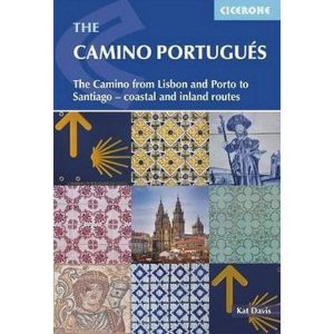
This Cicerone guidebook gives stage-by-stage directions for the Central Camino, starting from Lisbon, Porto or Tui, the Coastal Camino between Porto or Vigo, and the Spiritual Variant route from Pontevedra to Redondela. It also describes link routes that can be used to swap from one route to another. Detailed route guidance and maps are accompanied…
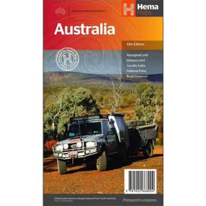
Hema’s iconic large map of Australia is ideal as a trip planning tool and travel companion. Marked on the map are localities, the major road network, distances and major national parks. The map also shows localities, the major road network, distances and major national parks. The visual appeal makes it perfect as a decorative map…
Cicerone’s essential guidebook for walking the GR5 trail, 660km from Lac Leman (Lake Geneva) to Nice or Menton, through the French Alps. Includes all the main variant routes as it passes Mont Blanc, then through the Vanoise, the Queyras and the Mercantour National Parks. Includes accommodation, profiles and maps. Suitable for fairly experienced hikers.


 Walking the Camino Dos Faros
  Micro Squeeze Water Filtration System
  Walking and Cycling Canberras Centenary Trail