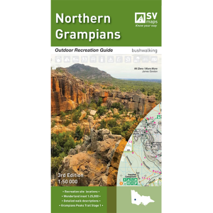
The Grampians region is one of the most popular destinations in Victoria for bushwalking and outdoor recreation. This detailed topographic map contains the latest road and walking trail networks, including the first stage of the new Grampians Peaks Trail, and locations of all the recreation sites in the region. A detailed (1:25,000) map of Halls…
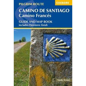
Cicerone’s comprehensive guidebook and map book to walking the 784km Camino Frances from St Jean-Pied-de-Port in southern France to Santiago de Compostela in Spain, including an additional route to Finisterre. Split into 6 sections and 36 customisable stages, the guide lists over 500 pilgrim hostels. The map book covers the entire route, which can be…
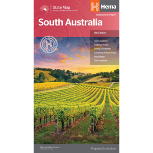
Have you ever thought “I just want a map of South Australia, the whole state, on one page for my wall to plan my trips”! Well, you’ve found it wiht this map from Hema! The reverse side has a more detailed view of Adelaide’s CBD and through roads, along with additional maps of the Flinders…
Hema’s map of the Northern Territory that has camping and rest areas, 24hour fuel and points of interest. On the reverse are through road maps of Darwin and Alice Springs, and a map of the greater Darwin region. For trip planning, there is a national park matrix and contact details for information centres.
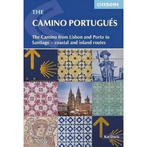
This Cicerone guidebook gives stage-by-stage directions for the Central Camino, starting from Lisbon, Porto or Tui, the Coastal Camino between Porto or Vigo, and the Spiritual Variant route from Pontevedra to Redondela. It also describes link routes that can be used to swap from one route to another. Detailed route guidance and maps are accompanied…
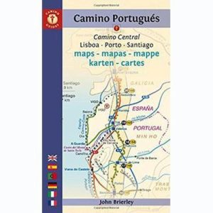
John Brierly is one of the acknowledged experts in walking the pilgrim’s routes of the Camino on the Iberian peninsula. For walkers who do not wish to carry the full guide book, and who only require maps, John has produced this map kit, with full daily stage maps, contour guides and town maps to help…
This is one of a series of excellent guide books from the Confraternity of Saint James, the pre-eminent, London-based organisation supporting pilgrim activities in Europe. Their guides are an inexpensive option for walkers heading to Santiago de Compostela on any of the many routes across Spain, France and beyond. Each book provides directions and details…
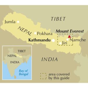
This is one of a series of excellent guide books from the Cicerone. Their guides are an inexpensive option for hikers heading all over the world looking to explore the world’s best walks and treks, mountains and cycle routes. This book details trekking in the Everest region of the Himalaya in Nepal, including Thame Valley, Lukla to Namche,…
Hema’s updated WA State Map is comprised of the most detailed information, which has been verified by Hema Map Patrol. It is printed on waterproof paper and includes a full index of locations, making it durable and easy to use for both navigation and inspiration. On the reverse side of the maps are through road…
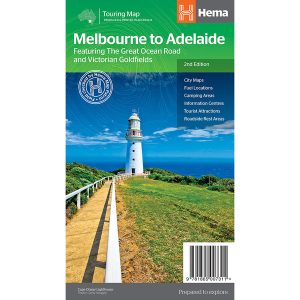
This touring map traverses Australia from Melbourne to Adelaide (1:900,000) and features an inset map of the Great Ocean Road (1:450,000). The latter map pinpoints significant locations along the route with tourist information attached and is accompanied by other useful information to illuminate the journey. Through-road maps of Melbourne to Adelaide are also included.
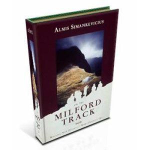
Since the route was opened in 1888, the Milford Track has been described as ‘The finest walk in the world’. Join Almis for this four-day adventure and absorb the Maori myths of Aotearoa, learn about the discovery of Mackinnon’s Pass which led to the establishment of the track, experience the rain, the waterfalls, the climbs…
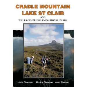
John Chapman and his co-authors spend their lives hiking all over this great land and writing guide books so the rest of us can follow them. Through years of refinement John & Co’s books are well laid-out and colourfully illustrated that detail routes, background, safety, trip planning and further reading.



 Camino de Santiago Maps