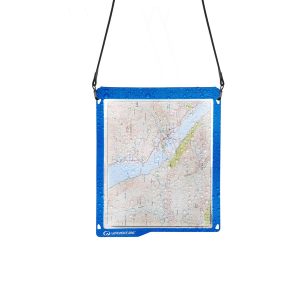
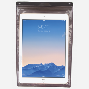
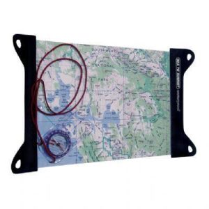
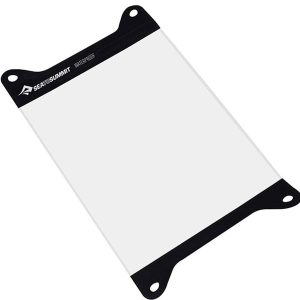
It’s a map case! You know, you put maps inside to keep them dry, but you can still read them! Actually it’s more than that. The touchscreen compatible TPU screen means that you could conceivably read a map displayed on your tablet, and manipulate it. And don’t fret – its waterproof rating is IPX7 so…
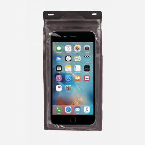
The Exped Seal Sleeve is a range of simple and compact cases that are fully 100% Waterproof and touchscreen compatible. If your next adventure might require you to keep your phone, tablet, wallet, map, money or documents from ending up in the drink – This is the product. Exped has developed a super strong zip…
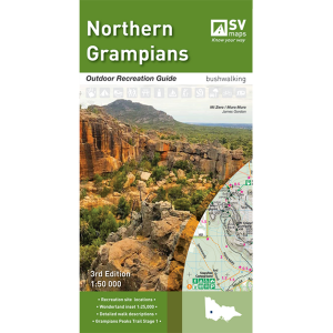
The Grampians region is one of the most popular destinations in Victoria for bushwalking and outdoor recreation. This detailed topographic map contains the latest road and walking trail networks, including the first stage of the new Grampians Peaks Trail, and locations of all the recreation sites in the region. A detailed (1:25,000) map of Halls…
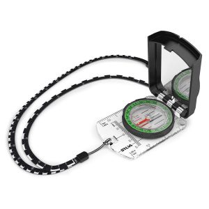
The Ranger S MS is the older brother of the classic Ranger that we know and love. The S model has a large sighting mirror for 45 angle assistance in taking bearings on distant geographical features, and has cut out the magnifying glass in favour of a shorter nose, producing a smaller bundle that snaps…
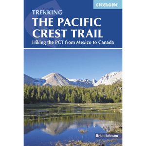
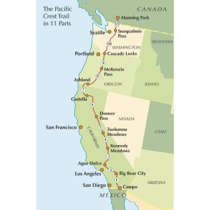
This is one of a series of excellent guide books from the Cicerone. Their guides are an inexpensive option for hikers heading all over the world looking to explore the world’s best walks and treks, mountains and cycle routes. This book covers the Pacific Crest Trail (PCT), an epic 2650 mile hike from California’s Mexican border to…
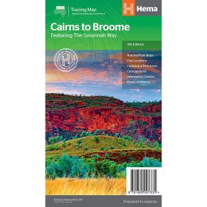
The Cairns to Broome map has all the the info you need for planning this epic road trip. From national parks maps, to fuel locations, caravan parks, info centres and adventure ideas it has it all. It comes with comprehensive info on amazing attractions along the way, this is THE map to plan a Cairns to Broome…
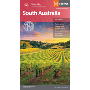
Have you ever thought “I just want a map of South Australia, the whole state, on one page for my wall to plan my trips”! Well, you’ve found it wiht this map from Hema! The reverse side has a more detailed view of Adelaide’s CBD and through roads, along with additional maps of the Flinders…
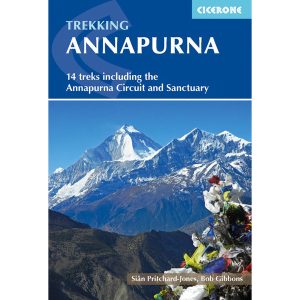
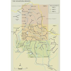
This is one of a series of excellent guide books from the Cicerone. Their guides are an inexpensive option for hikers heading all over the world looking to explore the world’s best walks and treks, mountains and cycle routes. This book details Nepal’s Annapurna region covering 14 treks including the Annapurna Circuit and Sanctuary treks.
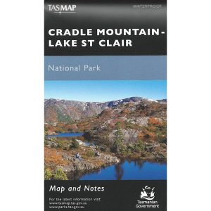
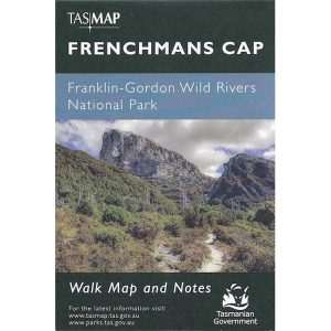
These maps highlight the walking tracks and features tourist information along with general topographic detail and is essential for walkers. The notes on the reverse side introduce visitors to the vegetation, land forms, animals, history of the area, bushwalking tips, safety essentials and booking requirements. Scale: 1:100,000.
It’s no good having a map if it’s all soggy – contour lines tend to blur, transforming gentle slopes into towering cliffs. Avoid such topographical catastrophes by protecting your map in this practical map case. The welded design will protect paper from water and dust, and the TPU (thermoplastic polyurethane) is UV resistant and folds…
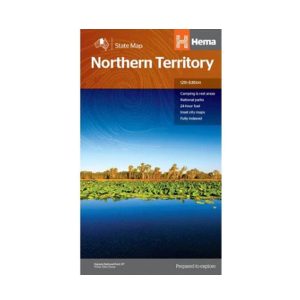
Hema’s map of the Northern Territory that has camping and rest areas, 24hour fuel and points of interest. On the reverse are through road maps of Darwin and Alice Springs, and a map of the greater Darwin region. For trip planning, there is a national park matrix and contact details for information centres.
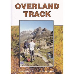
John Chapman and his co-authors spend their lives hiking all over this great land and writing guide books so the rest of us can follow them. Through years of refinement John & Co’s books are well laid-out and colourfully illustrated that detail routes, background, safety, trip planning and further reading.

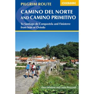 Camino Del Norte & Camino Primitivo Pilgram Route