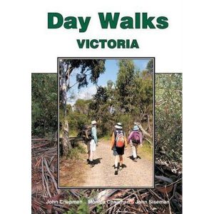
John Chapman and his co-authors spend their lives hiking all over this great land and writing guide books so the rest of us can follow them. Through years of refinement John & Co’s books are well laid-out and colourfully illustrated that detail routes, background, safety, trip planning and further reading.
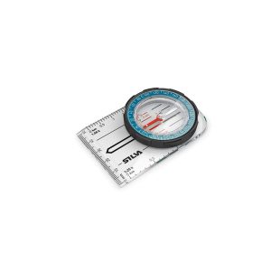
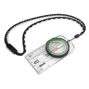
It may have been been renamed, but the Field MS (formerly Field 7) is still the industry standard compass for schools, scouts and anyone delving into the art of navigation for the first time. The baseplate, rubber grip and common scales will help teach the junior explorer this lifesaving skill. All Silva compasses include a…
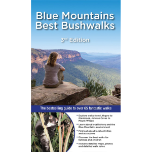
This bestselling bushwalking guide is the perfect companion for the experienced Blue Mountains adventurer, the keen bushwalking beginner and the whole family! Written by Veechi Stuart, a former Sydney Morning Herald columnist and true Blue Mountains local, this guide includes something for everyone. Included:
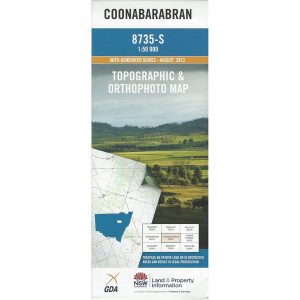
These are the official 1:25 000 scale topographical maps from the NSW government Land & Property Division, covering the most outstanding areas of the state on a well-produced, reversible, fold-out map perfect for hikers.
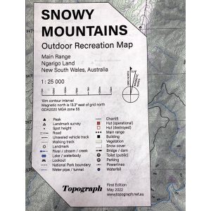
Printed on waterproof tyvek this tough map covers the Snowy Mountains Main Range on one side at 1:25,000 & Guthega to Round Mountain including Mt Jagungal on the other at 1:50,000 with amazing detailed representation with 10m contour intervals. Also with detailed insets of Watsons Crags, Dead Horse Gap, Blue Lk, Lady Northcote Canyon & marginal…
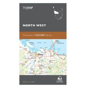
These Tasmanian maps are recommended for regional planners and visitors intending to travel a little off the beaten track. The map is popular with drivers, cyclists and people wanting a regional overview of an area. The maps are available in folded and flat form and may be joined together to create an impressive wall map.
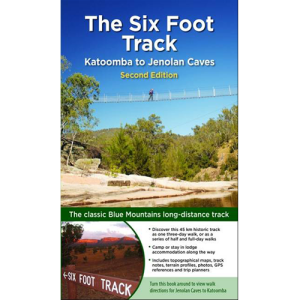
Journey along dramatic escarpments, across gorgeous rivers and through remote bushland on one of Australia’s historic long-distance walks: The Six Foot Track. This full-colour guide outlines all the info you’ll need to tackle this 44km Blue Mountains classic, including maps, estimated times, details on historic points-of-interest, possible accommodation along the hike and even public transport…
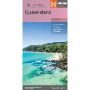
A compact map of Queensland (QLD) at a scale of 1:2,500,000 from Hema, for touring throughout the state which features highways, major roads and minor roads. Marked on the map are national parks, camping areas, caravan parks, rest areas, points of interest and 24-hour fuel accompanied by a distance grid and an index.
A step up from it’s little brother the Field, the Ranger MS is the go-to tool for most map work on the planet. A longer base plate, magnifying lens and luminous markings build on the strengths of the entry-level model to complete this classic compass model. All Silva compasses include a pamphlet explaining their 1-2-3…
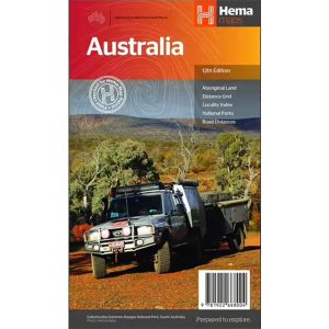
Hema’s iconic large map of Australia is ideal as a trip planning tool and travel companion. Marked on the map are localities, the major road network, distances and major national parks. The map also shows localities, the major road network, distances and major national parks. The visual appeal makes it perfect as a decorative map…
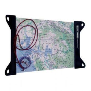
It’s no good having a map if it’s all soggy – contour lines tend to blur, transforming gentle slopes into towering cliffs. Avoid such topographical catastrophes by protecting your map in this practical map case. The welded design will protect paper from water and dust, and the TPU (thermoplastic polyurethane) is UV resistant and folds…
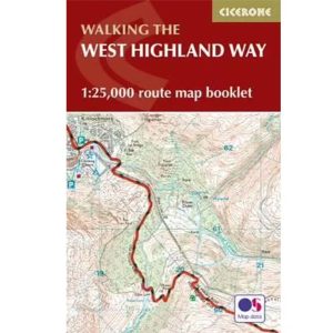
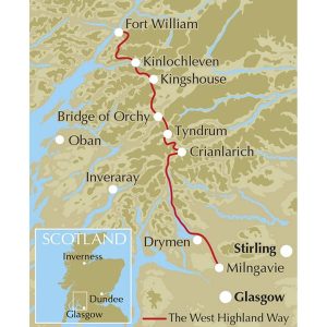
All the mapping you need to complete the 95 mile (153km) West Highland Way, an official Scottish Long Distance Route from Milngavie near Glasgow to Fort William. Showcasing the wild beauty of western Scotland, the trail is a journey from the lowlands to the highlands, passing Loch Lomond then crossing Rannoch Moor before finishing in…


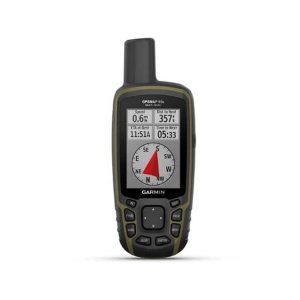 Garmin GPSMAP 65S Handheld GPS Device