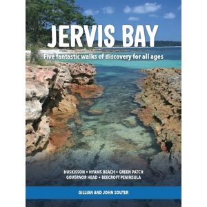
Jervis Bay Five Fantastic Walks of Discovery
$2.11Five walks in and around Jervis Bay, New South Wales suitable for all ages.

Showing 49–60 of 95 results
Five walks in and around Jervis Bay, New South Wales suitable for all ages.
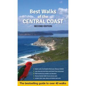
A handy and detailed guild to every walking trail in the Central Coast region
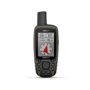

The Garmin GPSMAP 65S is a multi-band/multi-GNSS handheld device with sensors.
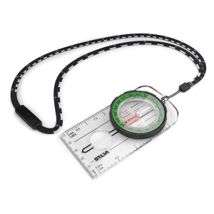
A step up from it’s little brother the Field, the Ranger MS is the go-to tool for most map work on the planet. A longer base plate, magnifying lens and luminous markings build on the strengths of the entry-level model to complete this classic compass model. All Silva compasses include a pamphlet explaining their 1-2-3…
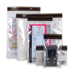
These light but strong polymer waterproof bags from Lifeventure will protect anything you care to put in them from water damage, scratching, religious conversion etc. The press-seal LocTop is rated to IPX8, that submersible up to 10m for 30 minutes. The large pack is designed for maps but comes with three different sized bags that…
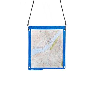
It’s a map case! You know, you put maps inside to keep them dry, but you can still read them! Actually it’s more than that. The touchscreen compatible TPU screen means that you could conceivably read a map displayed on your tablet, and manipulate it. And don’t fret – its waterproof rating is IPX7 so…
John Chapman and his co-authors spend their lives hiking all over this great land and writing guide books so the rest of us can follow them. Through years of refinement John & Co’s books are well laid-out and colourfully illustrated that detail routes, background, safety, trip planning and further reading.
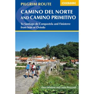
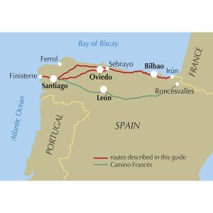
Cicerone guide details the Camino del Norte and Camino Primitivo pilgrim routes. The Camino del Norte covers 820 kms and takes you from Irún via Bilbao and Santander takes around 5 weeks to complete. The 355km Camino Primitivo takes about 2 weeks. The book also includes the Camino Finisterre from Santiago to the coast.
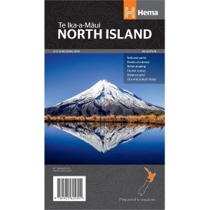
The New Zealand North Island Map (NZ) is a 1:1,000,000 scale travel reference map of the north island of New Zealand. Marked on the mapping are points of interest, tourist routes, walking tracks and national parks for touring the island. On the reverse are city maps of Auckland, Wellington, Whangarei, Napier, Kerikeri, Hamilton, Gisborne, New Plymouth, Palmerston…
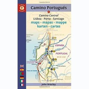
John Brierly is one of the acknowledged experts in walking the pilgrim’s routes of the Camino on the Iberian peninsula. For walkers who do not wish to carry the full guide book, and who only require maps, John has produced this map kit, with full daily stage maps, contour guides and town maps to help…
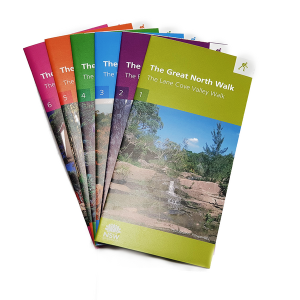
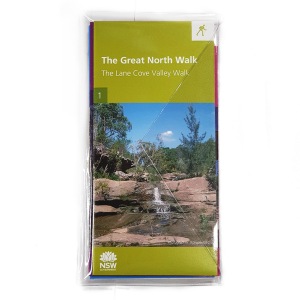
Produced by the Department of Lands, this six map kit covers the entire length of the Great North Walk. With details not featured on standard topo maps like convenient camp spots, train stops, drinking water, points of interest and more. It also has a load on insightful info on the back of the maps so…
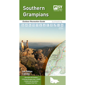
The Grampians region is one of the most popular destinations in Victoria for bushwalking and outdoor recreation. This detailed topographic map contains the latest road and walking trail networks, and in depth info for walking, overnight hiking, 4WD touring and other recreational activities. The map also includes a detailed inset of the Mount Abrupt and…
End of content
End of content

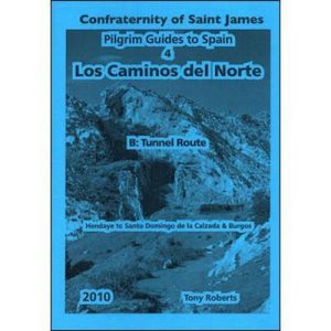 Los Caminos del Norte 4B: Tunnel Route